

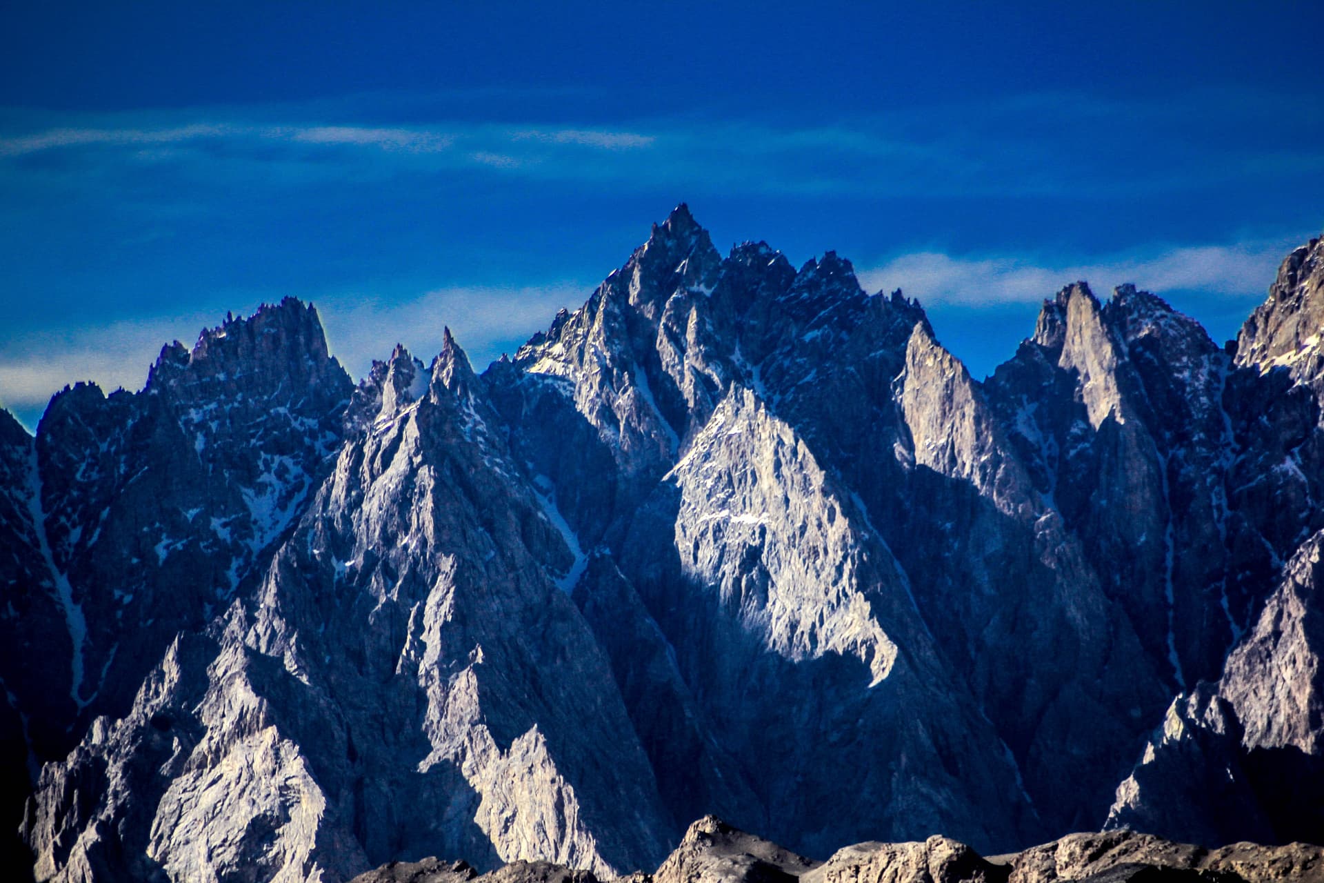

Three Ranges Tour: Karakoram, Himalayas & Hindu Kush
Journey to the Confluence of the World's Greatest Mountain Ranges
Three Ranges Tour: Karakoram, Himalayas & Hindu Kush
Journey to the Confluence of the World's Greatest Mountain Ranges
Journey to the Confluence of the World's Greatest Mountain Ranges
Karakoram Highway is one of the world’s most dramatic mountain roads, stretching from Hasan Abdal in Pakistan to the Khunjerab Pass on the China border. Carved through the meeting point of the Karakoram, Himalayas, and Hindu Kush ranges, it passes deep river gorges, towering peaks, and remote valleys shaped by the Indus River. Along the route lie iconic destinations such as Hunza Valley, known for its hospitality and breathtaking scenery, and cultural regions like the Kalash Valleys. The journey culminates at Khunjerab Pass, the highest paved international border crossing in the world, offering an unforgettable expedition through Pakistan’s northern mountain crown.
Trip Stats
Difficulty
Moderate
Max Altitude
4,734 meters
Wind Speed
25-35 km/h
Temperature
-5°C to 27°C
Overview
The Karakoram Highway stretches thirteen hundred kilometers from Hasan Abdal to the Khunjerab Pass, and locals call it the eighth wonder of the world. Twenty-four thousand Pakistani and Chinese workers built this road between 1959 and 1979. Eight hundred Pakistanis and two hundred Chinese lost their lives during construction—workers who fell into the gorges, were crushed by landslides, or simply never came home from the high passes. You drive that road today, clinging to cliffs hundreds of meters above the Indus, and you feel every one of those lives in the concrete beneath your wheels. This is the place where three mountain ranges meet. The Karakoram runs through the center, holding K2 and some of the longest glaciers on earth outside the polar regions. The Himalayas end here, with Nanga Parbat standing at 8,126 meters as the western anchor of the entire range. The Hindu Kush sweeps in from Afghanistan, its highest peak Tirich Mir visible from the valleys of Chitral. Between these ranges, the Indus River has carved gorges deeper than the Grand Canyon, dropping from four thousand meters in Tibet to sea level within two thousand kilometers. What stays with you, though, is not just the scale of the peaks. Early travelers called Hunza Valley "Shangri-La" because of its towering landscapes and the warmth of its people. The women in the Kalash Valleys wear black robes embroidered with cowrie shells, following traditions that predate Islam by thousands of years. The people of Hunza are famous for their longevity and their friendliness—strangers become guests, and guests become family. Local people invite you for tea without hesitation, serve you food made from their own kitchens, and send you on your way with both your hands in theirs. This journey through the northern crown of Pakistan moves through landscapes that shift with every pass. From the Mughal city of Lahore to the high meadows of the Hindu Kush, from seven-hundred-year-old forts to villages where life continues exactly as it did centuries ago. The itinerary is built for proper acclimatization—Islamabad at 540 meters, Gilgit at 1,500, Karimabad at 2,400, and finally the round trip to Khunjerab Pass at 4,734 meters, the highest paved border crossing in the world. You go high and come back down the same day, which is exactly what the mountaineering textbooks recommend. Alpine Karakoram Adventure has spent years building relationships in these valleys. We know the families who run the guesthouses, the drivers who handle the hairpin turns without drama, the guides who can read the weather in the way the clouds sit on Rakaposhi. This is not a tour run from an office somewhere far away. This is local knowledge, local hospitality, and a deep respect for the mountains and the people who call them home.
Trip Highlights
What makes this trekking special
Stand at the meeting point of the three highest mountain ranges on earth—Karakoram, Himalayas, and Hindu Kush—where the Gilgit River joins the Indus at Jaglot
Drive the Karakoram Highway, the eighth wonder of the world, built through gorges that drop thousands of meters below the road
Walk to the snout of Passu Glacier with the Passu Cones rising directly behind you, a sea of jagged ice that groans as it moves toward the Hunza River
Cross the Hussaini suspension bridge swinging above turquoise water—eight hundred feet of swaying planks that local people cross every day
Stay in the Kalash Valleys where Pakistan's smallest religious community practices animist traditions with roots in ancient Indo-European culture
Watch sunset hit Rakaposhi at 7,788 meters, called the Queen of Mountains, visible for nearly a hundred kilometers along the highway
Explore Baltit Fort built seven hundred years ago on a spur above Karimabad to guard the Silk Road against invaders from Central Asia
Float on Attabad Lake, turquoise water that did not exist before 2010 when a massive landslide buried entire villages and reshaped the valley
Cross Shandur Pass at 3,700 meters, where polo has been played for centuries on the highest polo ground in the world
Visit Taxila's Buddhist ruins dating back to the 6th century BC, when Gandhara was the crossroads of Asian civilization
Trek toward Nanga Parbat Base Camp for views of the ninth highest mountain on earth, its Rupal Face dropping 4,600 meters in one unbroken wall
Walk through the Walled City of Peshawar's Qissa Khwani Bazaar—the Street of Storytellers—where caravans once arrived from Kabul and Samarkand
Day by Day Itinerary
Arrive at Islamabad International Airport. Our representative meets you with an Alpine Karakoram Adventure signboard and transfers you to the hotel. The capital sits at 540 meters, with the Margalla Hills rising behind it. The rest of the day is free to rest after your flight. In the evening, your guide meets you with a briefing about the journey ahead—what to expect, how to prepare for the altitudes coming, and answers to any questions you have. We recommend an early night. The real journey starts tomorrow. • Distance: 30 km from airport • Altitude: 540 meters • Accommodation: Hotel in Islamabad • Meals: None (own arrangements)
Drive north on the Grand Trunk Road after breakfast. This ancient highway has carried armies and traders for two thousand years. First stop is Taxila, a UNESCO World Heritage site where Buddhist monasteries and stupas date back 2,500 years. This was the center of the Gandharan civilization, where Greek art met Buddhist thought after Alexander passed through. The museum holds some of the finest Buddhist sculpture in the world. Continue to the Karakoram Highway at Thakot, joining the road that took twenty years to build. Follow the Indus River north. The river is already wide and powerful here, carving through hills that grow steeper with each kilometer. Stop for the night in Besham, a small town on the riverbank where the sound of water fills the rooms. First day on the highway, and already the air feels different. • Distance: 280 km, 6-7 hours driving • Altitude: 540m to 600m • Accommodation: Hotel in Besham • Meals: Breakfast, Dinner
Today the gorge deepens. The highway clings to cliffs hundreds of meters above the Indus, and through the window you look straight down to white water. Stop at Thalichi for the first view of Nanga Parbat—8,126 meters, the Killer Mountain, its Rupal Face dropping 4,600 meters in one unbroken wall. Further north at Jaglot, reach the confluence monument where the three ranges meet and the Gilgit River joins the Indus. This is the geographical heart of the journey. Arrive in Gilgit by evening. Walk through the bazaar—chapli kebab, dried apricots, the buzz of a frontier town. Gilgit sits at 1,500 meters, and you feel the altitude in the coolness of the evening air. The bazaar sells everything from climbing gear to fresh fruit, and the people here have seen travelers pass through for centuries. • Distance: 330 km, 8-9 hours driving • Altitude: 600m to 1,500m • Accommodation: Hotel in Gilgit • Meals: Breakfast, Dinner
Short drive today, but every kilometer counts. Cross the Gilgit River and stop at Kargah to see a 7th-century Buddha carved into the rock face, from when Buddhist monks still traveled this route between Taxila and Central Asia. Enter the Hunza Gorge proper, and Rakaposhi comes into view. At 7,788 meters, it dominates the horizon for nearly a hundred kilometers, its glaciers hanging above green fields. At the viewpoint you get the classic photograph—the mountain, the highway, the river. Karimabad sits at 2,400 meters, crowned by two forts and terraced fields that climb the slopes. Early travelers called this valley "Shangri-La". Ultar Peak rises directly behind the town. This evening you understand why. • Distance: 100 km, 3-4 hours driving • Altitude: 1,500m to 2,400m • Accommodation: Hotel in Karimabad • Meals: Breakfast, Dinner
Full day in Hunza's cultural capital. Walk through the Karimabad bazaar in the morning—single lane, shops selling apricots, walnuts, and hand-woven fabrics, the mountains looking over your shoulder. Then up to Baltit Fort, perched on a spur above the valley, its foundations seven hundred years old. Inside, restored rooms show how Hunza's rulers lived, with photographs of the valley before the highway came. A trail leads downhill to Altit Fort, even older at nine hundred years, built to guard the Silk Road. Below the fort, the old village preserves traditional stone-and-timber houses and irrigation channels that have watered these fields for centuries. Afternoon free—walk an irrigation channel toward Ultar Glacier, or sit at a café and watch eagles circle. The people of Hunza are famous for their friendliness, and you will feel it here. • Walking: 3-4 hours gentle walking • Altitude: 2,400m throughout • Accommodation: Hotel in Karimabad • Meals: Breakfast, Dinner
Early start. Drive north through the narrowing Hunza Gorge. Pass Attabad Lake—turquoise water where a massive landslide buried villages in 2010, creating a lake twenty-two kilometers long and reshaping the valley forever. Above Sost, the last Pakistani settlement, the valley widens into high pasture. Khunjerab National Park protects ibex, Marco Polo sheep, and snow leopards, though a leopard sighting requires luck. Reach Khunjerab Pass at 4,734 meters, the highest paved border crossing in the world, linking Pakistan with China's Xinjiang province. The name comes from Wakhi language—"Khun" means blood and "Jerab" means creek, referring to a local spring. Return to Passu village beneath the Passu Cones, their jagged spires catching the last light. View the Hussaini Suspension Bridge spanning the river—eight hundred feet of swaying planks above turquoise water. Local people cross it every day. • Distance: 200 km round trip, 5-6 hours • Altitude: 2,400m to 4,734m and back • Accommodation: Hotel in Passu • Meals: Breakfast, Dinner
Morning walk to Passu Glacier. The trail follows the river then climbs through moraine to the glacier snout, forty-five minutes one way. The glacier is a sea of jagged ice, wedged between snow-capped peaks, moving slowly toward the Hunza River with sounds like groaning. Shispar at 7,611 meters and Passu Peak at 7,478 meters frame the view. Drive to Borit Lake, an alpine lake reflecting the peaks. Visit Gulmit village for Wakhi culture—traditional houses, a polo ground, people who have lived here for centuries. Walk through terraced fields and see how irrigation water is shared, how families have farmed these slopes since before anyone kept records. Return to Passu for the evening, the Cones catching the last sun. • Trekking: 2-3 hours easy walking • Altitude: 2,400m to 2,800m • Accommodation: Hotel in Passu • Meals: Breakfast, Dinner
Drive south, stopping again at Attabad Lake. Take a boat on the turquoise water, crossing the lake that did not exist fifteen years ago. The buried villages are somewhere beneath us. Past Karimabad again, the terraced fields and forts looking different in morning light. Rakaposhi viewpoint in the afternoon may show the mountain with clouds streaming from its summit like snow blown off a roof. Gilgit in the evening, the bazaar busy with traders from across the Northern Areas. Last chance to buy dried fruit or a woolen cap before we turn west tomorrow. • Distance: 120 km, 4-5 hours driving • Altitude: 2,400m to 1,500m • Accommodation: Hotel in Gilgit • Meals: Breakfast, Dinner
West from Gilgit, following the Ghizer River. The valley feels different from Hunza—broader valleys, villages spaced further apart. This is Ismaili country, and the jamatkhanas—prayer houses—stand modern against old stone settlements. At Gupis, a restored fort speaks to centuries of strategic importance when this route connected Gilgit with Chitral and, beyond, with Afghanistan. The bazaar is small, the language shifting from Shina to Khowar, the architecture beginning to show Chitrali influences. You feel the transition here, from one mountain range toward another. • Distance: 120 km, 4-5 hours driving • Altitude: 1,500m to 2,100m • Accommodation: Hotel in Gupis • Meals: Breakfast, Dinner
Shandur Pass day. Climb through open country to 3,700 meters. The pass spreads into rolling grassland dotted with shepherd camps and yaks. The Shandur Polo Ground is here—the highest polo ground in the world at 12,000 feet, where teams from Chitral and Gilgit-Baltistan compete every June in a tournament that has run for over a century. The festival draws thousands of spectators and features paragliding, food stalls, music programs, and traditional dances . Descend toward Chitral. Tirich Mir comes into view—7,708 meters, the highest peak in the Hindu Kush, dominating the sky ahead. Ayun sits in its shadow, orchards and streams and the mountain above. This is Hindu Kush country now. • Distance: 150 km, 5-6 hours driving • Altitude: 2,100m to 3,700m to 1,400m • Accommodation: Hotel in Ayun • Meals: Breakfast, Dinner
Into the Kalash Valleys. Three side valleys of the Hindu Kush—Bumburet, Rumbur, and Birir—home to approximately 4,000 people who practice an animist religion with roots in ancient Indo-European culture. The women wear black robes embroidered with cowrie shells, elaborate headdresses, and you will not see this anywhere else in Pakistan. Bumburet is the largest valley, opening toward the Kunar River at about 1,400 meters, with villages at 1,900 to 2,200 meters. Wooden houses scatter among terraced fields and walnut groves. Walk through the valley. Visit the small museum explaining Kalash cosmology, their festivals, their gods—Joshi in spring when milk is offered, Uchau at harvest, Chaumos in winter when goats are sacrificed . In the evening, the mountains close in and the valley feels very far from anywhere. • Distance: 50 km, 2 hours driving • Altitude: 1,400m to 1,600m • Accommodation: Kalash guesthouse • Meals: Breakfast, Lunch, Dinner
Deeper into Kalash country. Rumbur Valley is less visited, more traditional. Wooden houses cling to steep slopes, doors carved with geometric patterns and goat motifs. Daily life continues—women at the stream, men carving wood, children playing. The region is extremely fertile, with oak forests and ingenious irrigation channels that power grinding mills and water fields. Wheat, maize, grapes for wine, apples, apricots, and walnuts grow here. In the evening, if arrangements allow, share a meal with a Kalash family. They will tell you stories of their ancestors, of the gods in the mountains, of hopes for their children. Genetic studies show they carry some of the oldest lineages in South Asia. You will not forget it. • Walking: 3-4 hours valley exploration • Altitude: 1,600m throughout • Accommodation: Kalash guesthouse • Meals: Breakfast, Lunch, Dinner
Leave the valleys. Drive through the Lowari Tunnel—10.4 kilometers through the mountain, bypassing the old Lowari Pass that was one of the most dangerous crossings in the region. Descend toward the plains. Peshawar in the afternoon, the frontier city where Central Asia meets the subcontinent. Walk through Qissa Khwani Bazaar—the Street of Storytellers—where caravans once arrived from Kabul, Samarkand, and beyond, and where tales were traded alongside goods. Mohabat Khan Mosque in evening light, its Mughal architecture glowing. Dinner in a haveli, a restored merchant's house. You have come a long way from the mountains. • Distance: 300 km, 6-7 hours driving • Altitude: 1,600m to 340m • Accommodation: Hotel in Peshawar • Meals: Breakfast, Dinner
Morning in Peshawar. Mohabat Khan Mosque in daylight reveals frescoes and Mughal architectural details. Sethi Street shows the houses of Hindu merchants who once dominated Peshawar's trade before Partition. Drive to Takht Bhai, a Buddhist monastery complex on a hilltop—stupas, monastic cells, assembly halls from the 1st century BCE. One last connection to the Buddhist heritage that shaped this region for a thousand years. Then on to Islamabad, the plains spreading wide, the mountains behind us now. Transfer to Islamabad International Airport for evening flights. The journey ends, but it stays with you. • Distance: 200 km, 4-5 hours with stop • Altitude: 340m throughout • Transfer: Islamabad International Airport • Meals: Breakfast
Note: The Karakoram requires flexibility. Flights are weather-dependent, and road contingencies are always in place. The Khunjerab border closes from December 1 to March 31 each year due to heavy snowfall under the protocol agreement signed in 1985, and even during the season, weather can close passes temporarily . Shandur Pass may hold snow until late June. Landslides can close the highway for hours or days—this is mountain travel, not a theme park. Your guide has authority to modify the route for safety, and we ask for your patience when conditions require changes. Alpine Karakoram Adventure plans for reality so that you can focus on the mountains.
What's Included
Included
9 items included
- Twin-sharing accommodation in hotels, lodges, and guesthouses throughout
- Daily breakfast and all meals in remote areas including Kalash Valleys
- Air-conditioned transport and 4x4 vehicles for high passes
- English-speaking licensed guide with Alpine Karakoram Adventure
- Local specialist guides at forts, museums, and cultural sites
- All entrance fees to monuments, forts, and national parks
- Bottled drinking water during the tour
- Letter of invitation for Pakistan visa application
- All taxes and service charges
Not Included
11 items not included
- International airfare to and from Pakistan
- Pakistan visa fee
- Travel insurance with medical coverage and evacuation
- Lunches and dinners in cities where not specified
- Photography fees at sites with additional charges
- Personal expenses including laundry, souvenirs, phone calls
- Tips and gratuities for guides, drivers, and hotel staff
- Single room supplement
- Costs from unforeseen circumstances beyond our control
- Domestic flights if opting for fly-in option
- Optional activities not specified
We understand that every traveler has unique needs and expectations. The inclusions above represent our standard touring package. However, Alpine Karakoram Adventure can customize your plan.
What Our Adventurers Say
Authentic reviews from fellow trekkers who completed this tour
Based on 0 reviews
Be the first to review this tour!
Similar Tours
Discover more incredible adventures in the Karakoram
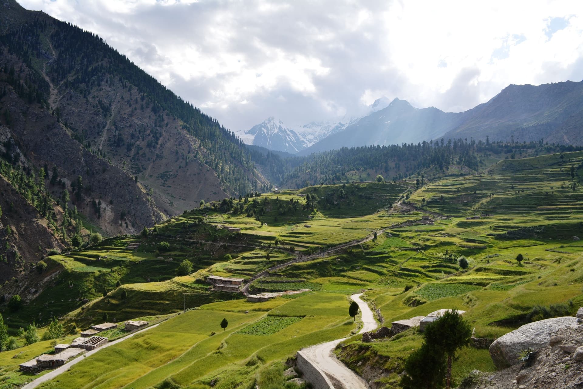
Summer Tour in Gilgit-Baltistan
Gilgit-Baltistan transforms into a vibrant high-altitude paradise during summer, when snowmelt feeds crystal-clear rivers, alpine lakes, and lush green valleys. From June to August, the region becomes fully accessible, revealing iconic destinations such as Hunza Valley, Skardu Valley, and Astore Valley at their most colorful. Meadows in places like Deosai National Park, Fairy Meadows, and Naltar Valley bloom with wildflowers, while events like the Shandur Polo Festival bring cultural energy to the mountains. With mild temperatures and long sunny days, summer is the peak season for trekking, camping, and exploring Pakistan’s most dramatic landscapes, from Attabad Lake to Khunjerab Pass.

Spring Blossom Tour: Alpine Karakoram Adventure
Hunza Valley and the wider northern regions of Pakistan transform into a breathtaking landscape during spring, when apricot and cherry blossoms blanket the valleys in shades of pink, white, and green. From mid-March to April, orchards across Nagar Valley, Skardu Valley, and Baltistan come alive against the dramatic backdrop of snow-capped peaks like Rakaposhi and the Passu Cones. The season symbolizes renewal, with blooming fruit trees such as apricot, cherry, apple, and mulberry filling the air with fragrance and color. This spring blossom tour offers an easy, scenic experience for families and photographers, combining cultural warmth, peaceful village life, and some of the most stunning floral mountain landscapes in the world.
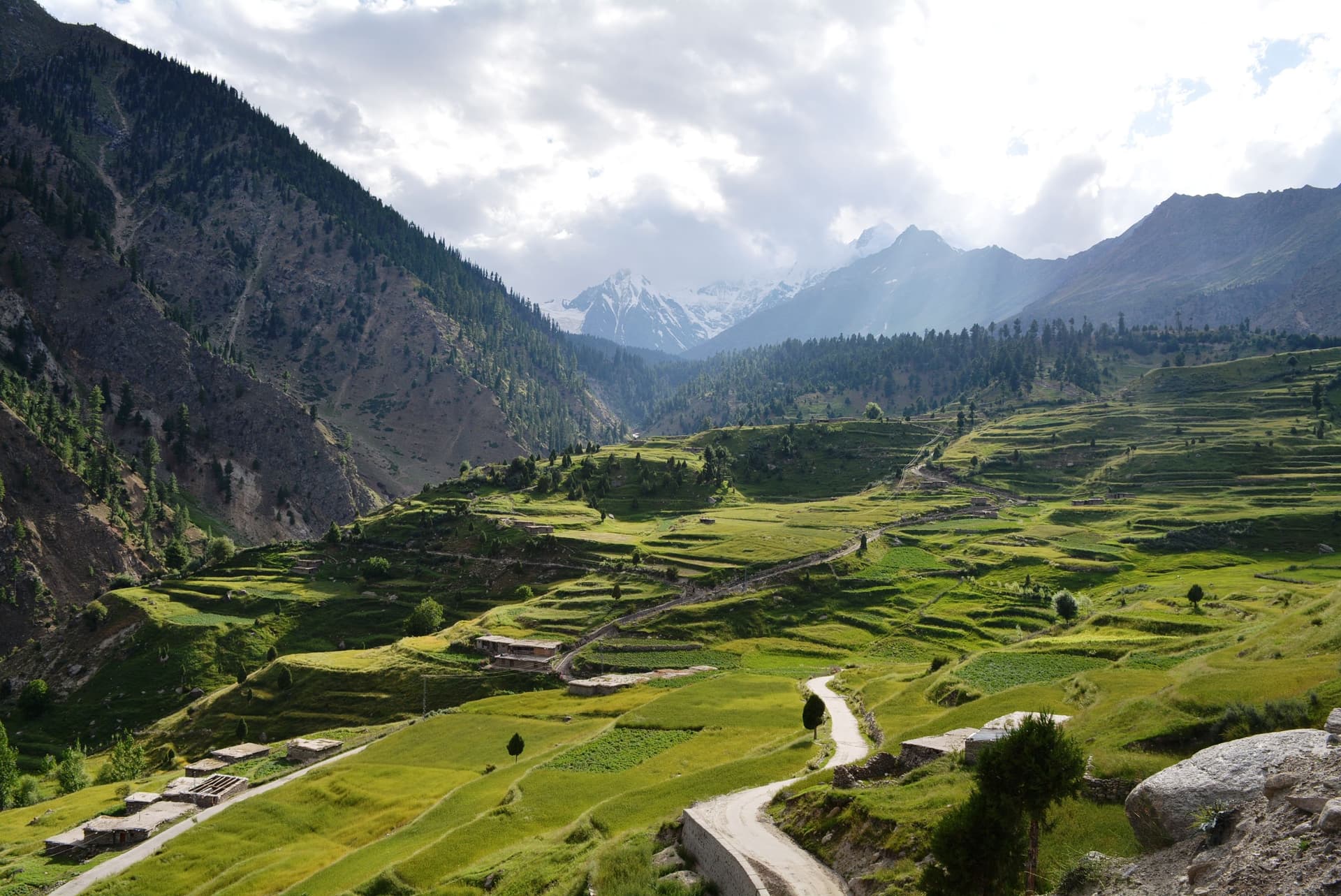
Skardu, Astore, Kharmang and Khaplu Valley Tour
Baltistan is a breathtaking mountain region often called the “Land of Giants,” home to towering peaks, glaciers, and some of the world’s most dramatic landscapes. This tour explores its four iconic valleys—Skardu Valley, known for lakes, deserts, and access to K2; Astore Valley, famous for its alpine meadows beneath Nanga Parbat; Kharmang Valley, a hidden gem of waterfalls and traditional villages; and Khaplu Valley, rich in history and gateway to peaks like Masherbrum. Blending natural beauty with cultural heritage, this journey offers lakes, meadows, deserts, and centuries-old architecture, making it a complete exploration of Baltistan’s diverse landscapes and timeless mountain culture.
Starting from
Contact for Price